Jackrabbit Walking Trail Plants and trees
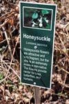
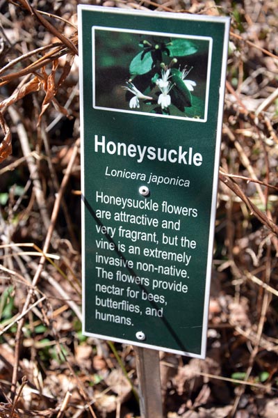
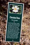
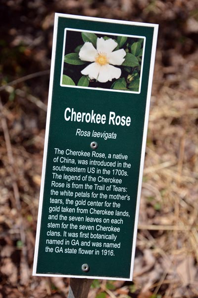
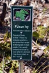
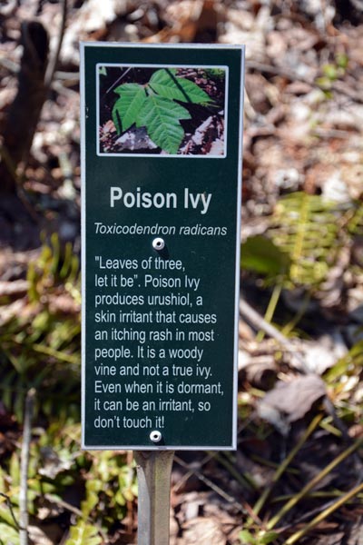
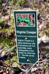
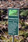
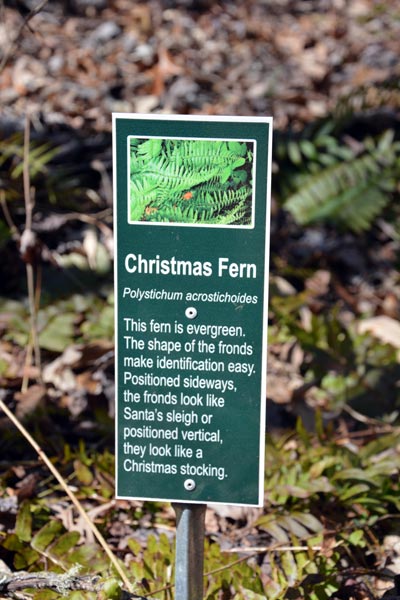
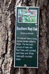
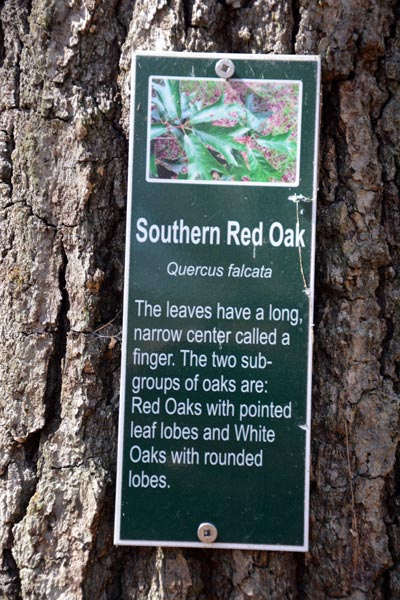
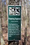
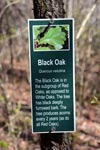
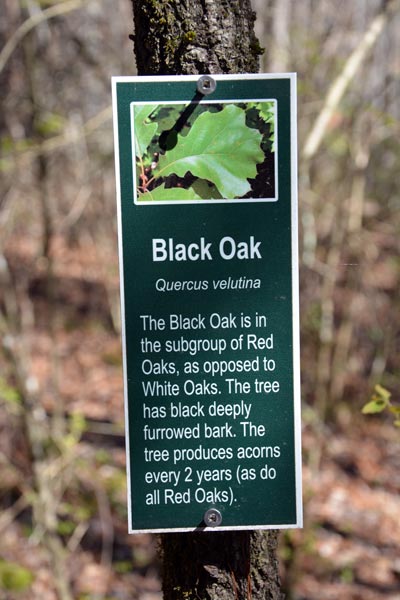
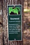
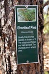
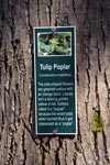
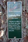
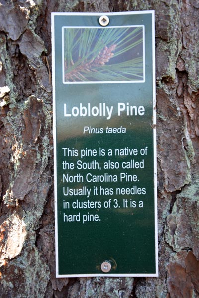
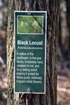
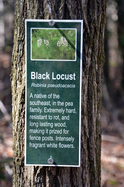
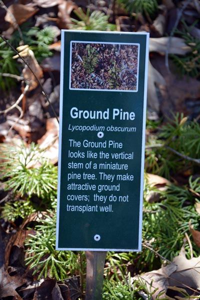
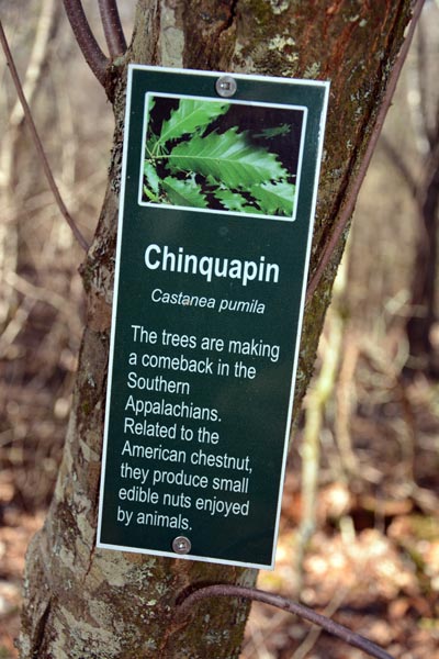
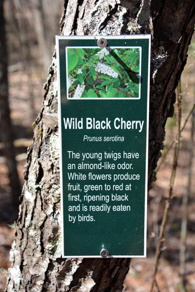
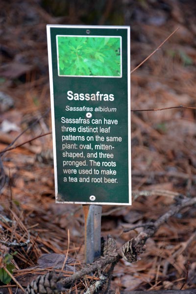
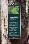
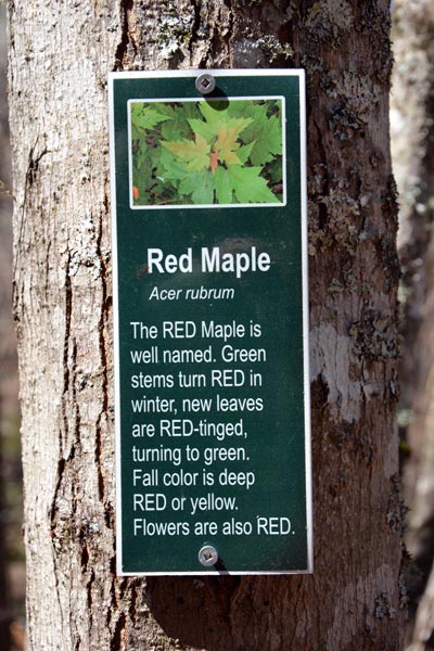
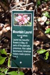
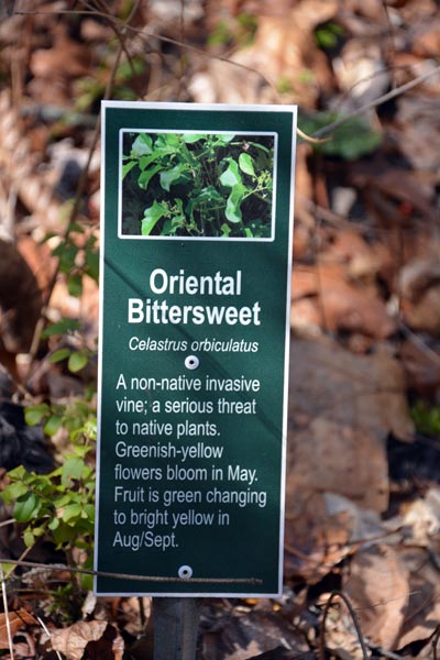
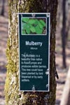
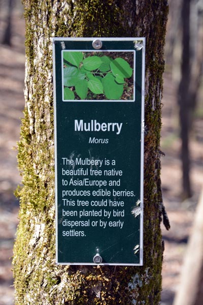
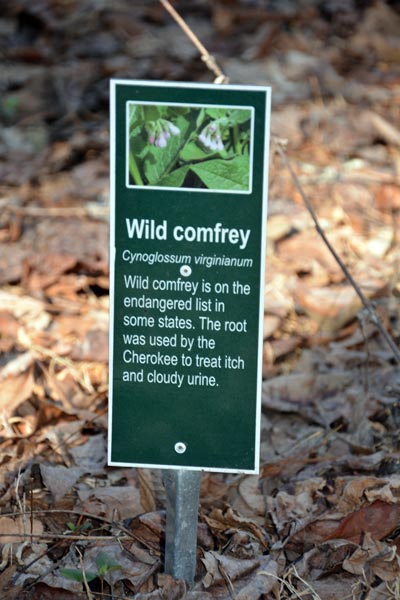
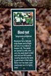
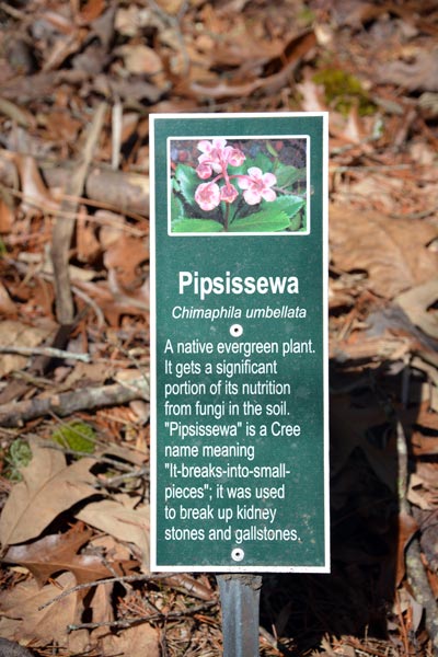
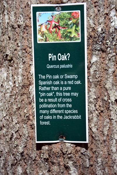
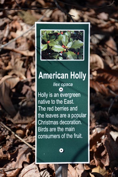
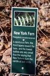
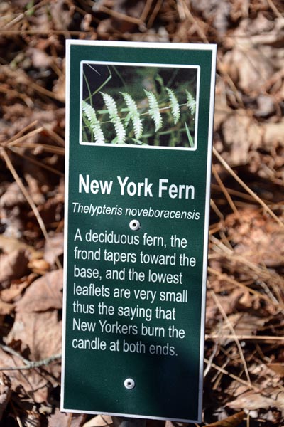
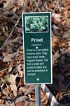
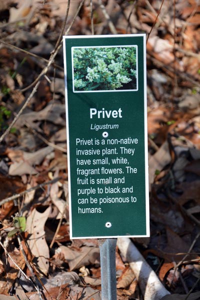
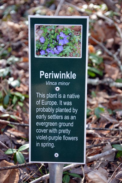
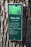
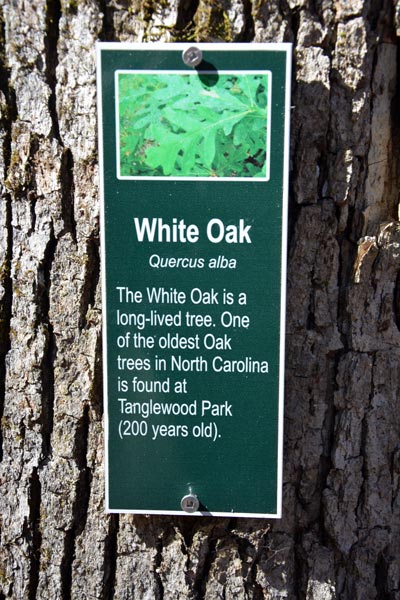
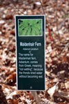
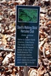
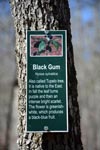
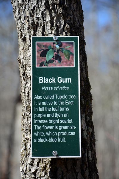
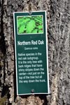
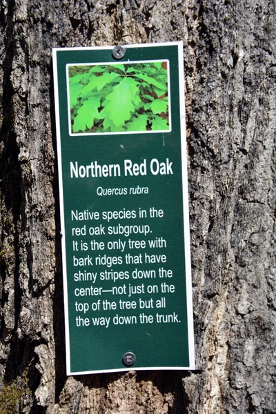
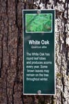
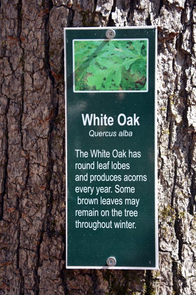
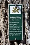
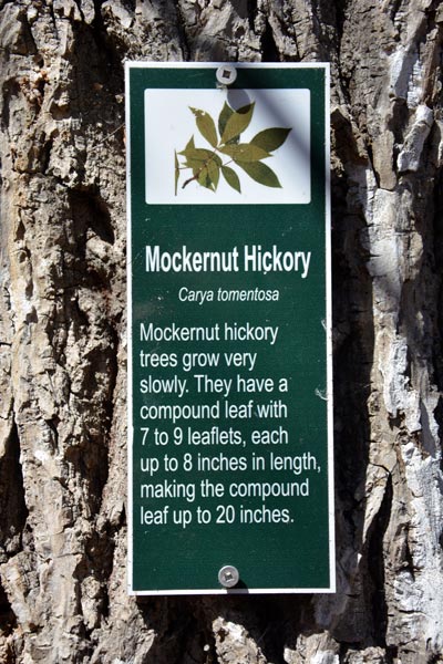
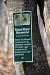
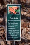
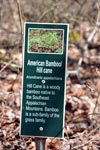
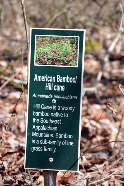
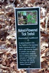
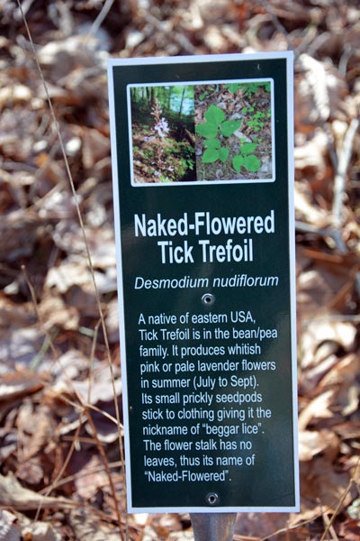
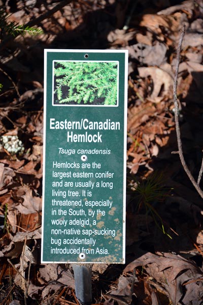
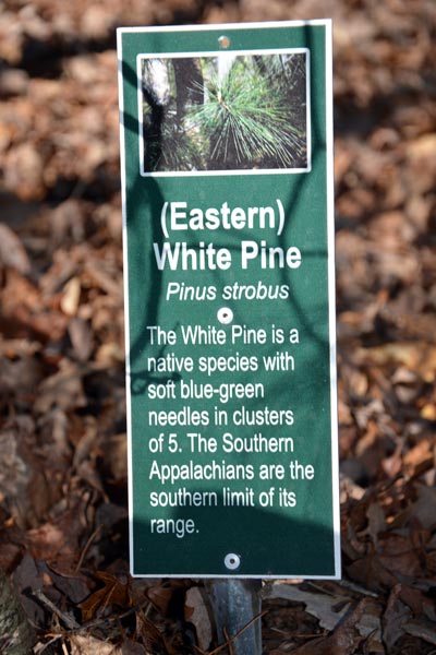
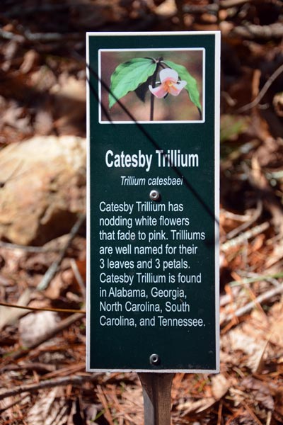
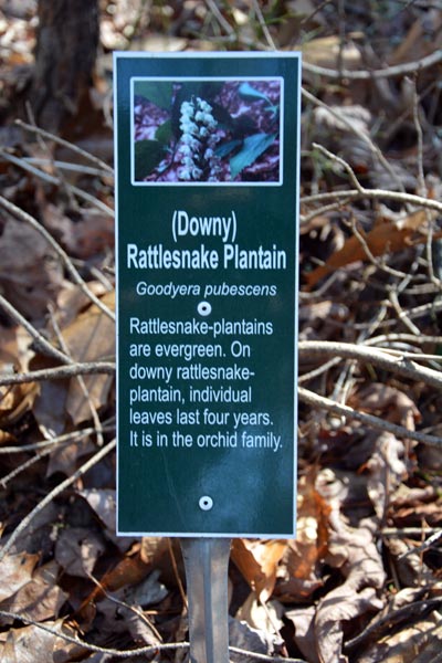
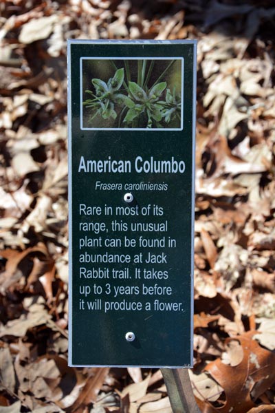
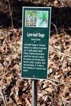
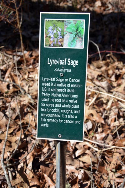
If you choose to walk the trail you will be able to enjoy the at least 50 plant dicription plaques placed throughout the whole park. Everything from the American Holly to Poisin Ivy is marked with a picture to help you identify the plant near by. The large stand of trees provide a very nice shade canapoy for those hot days of summer. And once the leaves are fallen you are treated to piquresc views of lake Chatuge at almost every turn. Jackrabbit park is really a jewal of south western North Carolina and Hayesville. It truely is "Good for the Soul"
Do please beware of bikers as you walk the trail and yeild the right of way. or don't go off the trail as that causes erotion and can cause wash and soil diplacement.
Here is a printable Jackrabbit Bike Trail Map
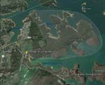
See how the peninsula has the shape of a rabbit?
Directions:
The trail head is located closest to the town of Hayesville, N.C., not far from either Murphy or Franklin on US Hwy. 64.
From Murphy, NC at US Hwys. 19-74-129:
Follow US Hwy. 64 East for 18.9 miles and turn right on NC Hwy. 175 South.
From Franklin, NC at US Hwy. 441:
Follow US Hwy. 64 West for 28.3 miles and turn left on NC Hwy. 175 South.
Go 0.9 miles and turn right to stay on NC Hwy. 175, crossing a new concrete bridge over an arm of the lake. Go 2.5 miles and turn right onto Jack Rabbit Road. Bear left after 250 ft., staying on Jack Rabbit Road. The signed parking area is on the left after about 1/2 mile. (The campground is straight ahead at the end of Jack Rabbit Road).
Facilities: picnic tables, information board, entrance, maps & junction signs. plenty of parking, pit toilets, and picnic tables & BBQ grills by the lake. Drinking water is also available. Fees: none
Camping: Camping is available down the road buy the lake at the Jackrabbit Mountain Campground It's not far to ride your bikes back and forth.
The campground is open May thru September
Jackrabbit Mountain Recreation Area at Lake Chatuge: White Sandy beach on Lake Chatuge with bath rooms and picnic areas. Located past the bike trails a little ways.
Closest town: Hayesville North Carolina